
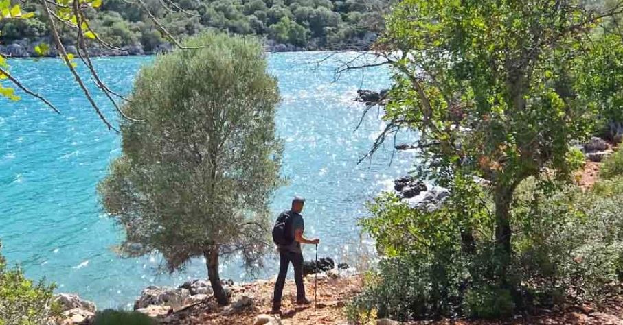
There are few long-distance walks that combine such spectacular scenery with such a rich concentration of history as the Lycian Way in southwestern Turkey. Winding for roughly 540 kilometres between Fethiye and Antalya, this celebrated trail follows the rugged Mediterranean coastline. It climbs through pine forests, crosses mountain passes and drops to secluded coves where the sea shimmers in impossible shades of blue.


Previous image
1 / 3Next imagePause slideshow
Along the way, the landscape is littered with reminders of the Lycians, who settled here around 2000 BC. Little is known about them but they were conquered first by the Persians, then Alexander the Great, before the region became a province of Rome in 43 AD. Everyone left their mark here – Lycian rock tombs cling to cliffs, abandoned villages stand frozen in time, and the remains of ancient cities emerge from the undergrowth. The Romans built amphitheatres, baths, temples and triumphal arches.
Walking the Lycian Way is as much an archaeological adventure as a hiking expedition and the entire trail takes around 30 days. I’ve only a week so will take in some of the highlights including the rock tombs of Amyntas, the deserted village of Kayaköy, the ruins of Trebenna and the magnificent coastal city of Phaselis.
Geyikbayır to Trebenna 4 km


Previous image
1 / 3Next imagePause slideshow
For logistical reasons, I’m going to be following the trail in the reverse direction starting from Antalya. The guidepost at Geyikbayırı, a forty minute drive from the city, points upwards through the pines. It’s a steep climb and I’m reminded that the Lycian Way is no walk in the park but requires some serious hiking.


Previous image
1 / 3Next imagePause slideshow
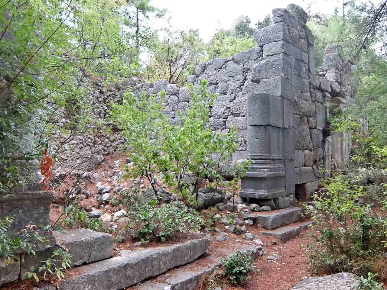
My reward is the ancient city of Trebenna, hidden in the vegetation in a commanding position overlooking the surrounding countryside. It developed during the Hellenistic and Roman periods and continued to be occupied into the Byzantine era. The surviving remains include stone blocks scattered among the trees, opened tombs, and the foundations of civic and religious buildings.
Phaselis Ancient City


Previous image
1 / 3Next imagePause slideshow
After lunch I drive to Phaselis, an ancient port city near Tekirova, south of Kemer. Founded by Greek settlers in the seventh century BC, it prospered through maritime trade, exporting timber, perfume and other commodities. Its three natural harbours made it an important commercial centre, connecting the Mediterranean with communities further inland.

Today, it’s among the most atmospheric archaeological sites on the Turkish coast. Its ruins lie beneath towering pine trees, with the sea visible through the branches and small beaches bordering the ancient waterfront. Walking the stone steps of the main street, you pass the remains of shops and public buildings before reaching the agora and theatre. The monumental Hadrianic Gate commemorates the visit of the Roman emperor Hadrian in the second century AD.
Chimera

Previous image
1 / 2Next imagePause slideshow
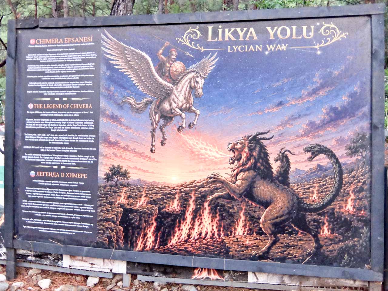
Further on, one of the most extraordinary experiences on the Lycian Way is a climb up to Chimera, from the village of Çıralı. At dusk, I walk up a stepped, rocky path through scrub and woodland, for around 30 minutes. As it gets darker I see flames lighting up the mountain, creating an almost supernatural spectacle. Methane and other gases seep through fissures in the rock and ignite when they meet the air.


Previous image
1 / 2Next imagePause slideshow
They’ve been burning for at least 2,500 years and the ancient Greeks believed they were the breath of the Chimera, a terrifying monster with the head of a lion, the body of a goat and the tail of a serpent. Standing alongside the burning rocks, with the Mediterranean coast twinkling below, it’s easy to understand why the phenomenon captured the ancient imagination.
Kapaklı to Üçağız 11 km


Previous image
1 / 3Next imagePause slideshow
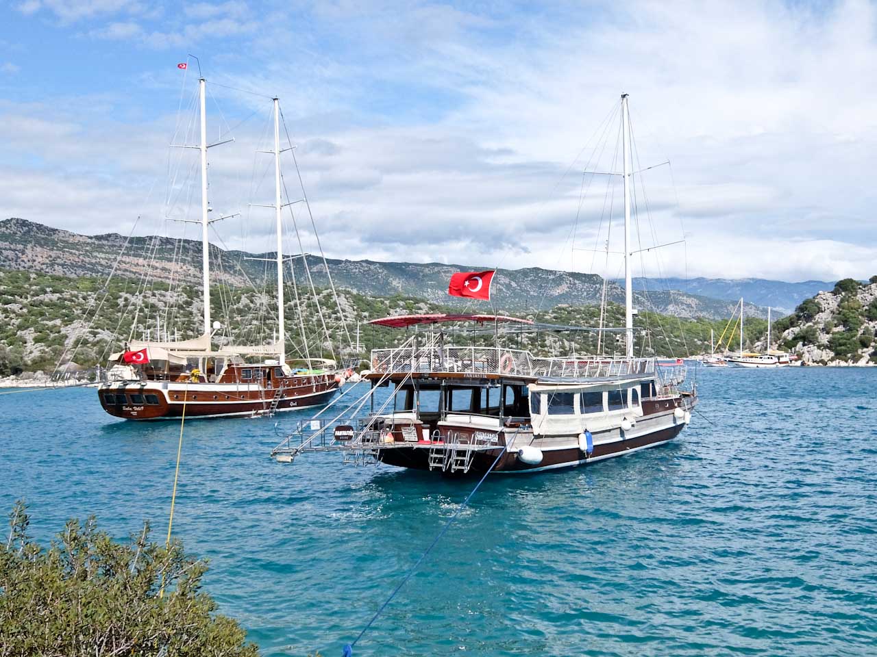
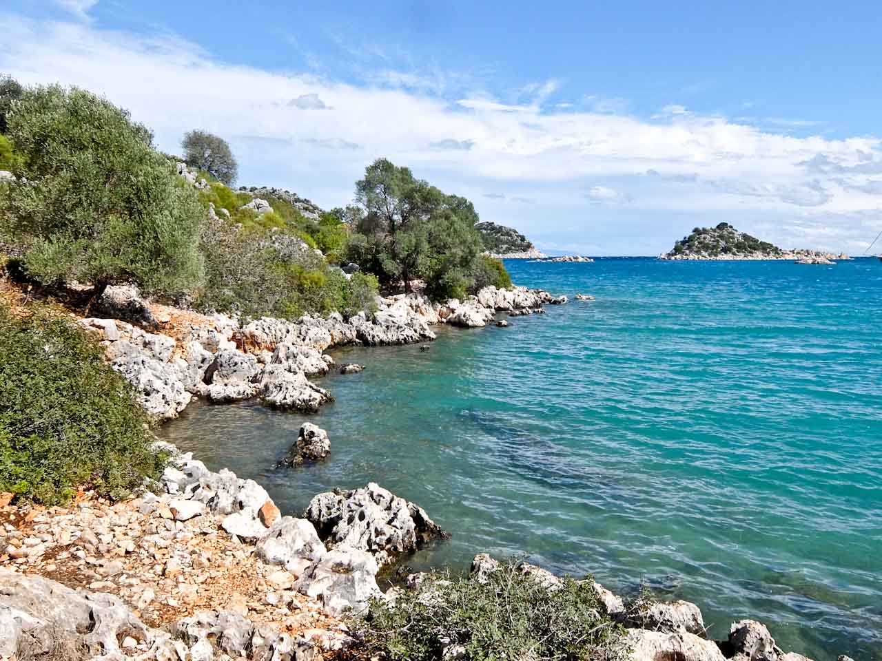
Next day I drive to the Kapakli, with the coastline below, and set out to follow the sea. It’s rocky underfoot and heavy rain overnight makes it easy to slip. I pass a huge stone sarcophagus and in the hillside are rock tombs. Suddenly the sun comes out and it’s easy to see why they call it the Turquoise Coast, the deep blue sea looking very inviting.


Previous image
1 / 3Next imagePause slideshow
In the second century AD, there was a terrible earthquake here, water levels changed and the city of Simena slipped into the sea. The waters are so clear that it’s easy to make out the foundations of buildings and the outline of the original harbour. Towering above is the original Lycian acropolis, now home to a crusader castle. Inside is a tiny Roman theatre, carved into solid rock and a few blocks of an ancient temple.


Previous image
1 / 3Next imagePause slideshow
Faralya to Ovacık 15 Km


Previous image
1 / 3Next imagePause slideshow
It’s a couple of hours’ drive to the last section of the trail and one of the most scenic. I start in the cliffside village of Faralya and climb up the slopes of the mighty Baba Dağı mountain range. The trail flattens out and crosses farmland dotted with beehives. A rustic snack bar provides freshly squeezed orange and pomegranate juice for morning refreshment.


Previous image
1 / 3Next imagePause slideshow
Above is Mount Babadağ, at 1,975 m, a popular jumping off point for paragliders. Below is the stunning Ölüdeniz blue lagoon and the path drops down over a 4km stretch of switchbacks to the trailhead at Ovacık. A painted arch celebrates the beginning of the Lycian Way, although many people start in Fethiye, a day’s walk away.

Rock tombs of Amyntas


Previous image
1 / 3Next imagePause slideshow
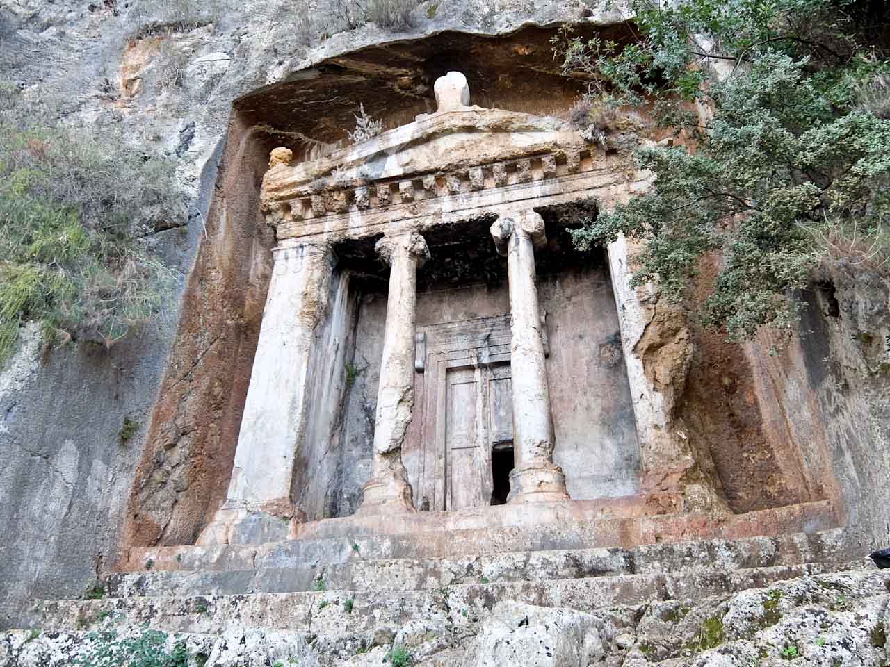
Fethiye was an important city in ancient Lycia, and its history is visible in the cliffs overlooking the modern town. Tombs were carved directly into the limestone rock face during the fourth century BC. The most impressive is the Tomb of Amyntas, and its monumental façade resembles the entrance to a Greek temple, complete with columns and a triangular pediment.


Previous image
1 / 2Next imagePause slideshow
From here there are sweeping views across Fethiye and its harbour. Below, fishing boats and tourist vessels head into the Gulf of Fethiye, while the surrounding mountains form a dramatic backdrop. It is an evocative introduction to the region’s ancient past, and a reminder that the Lycian Way passes through a landscape shaped by thousands of years of human occupation.
Kayaköy


Previous image
1 / 2Next imagePause slideshow
East of Fethiye, a detour to the deserted village of Kayaköy offers one of the most haunting experiences in the region. This once-thriving settlement, known historically as Levissi, was home to a thriving Greek Orthodox community before the population exchanges between Greece and Turkey in the 1920s.


Previous image
1 / 2Next imagePause slideshow
When the people left, the village was abandoned and hundreds of roofless stone houses climb the hillside, their empty windows staring across the valley. Two churches are among the most prominent surviving structures. Trees grow through collapsed walls, weeds reclaim courtyards, and the silence is broken only by birdsong. For walkers, it provides a powerful counterpoint to the classical monuments encountered elsewhere along the route.